SeaTec Interns have completed their stay at UW
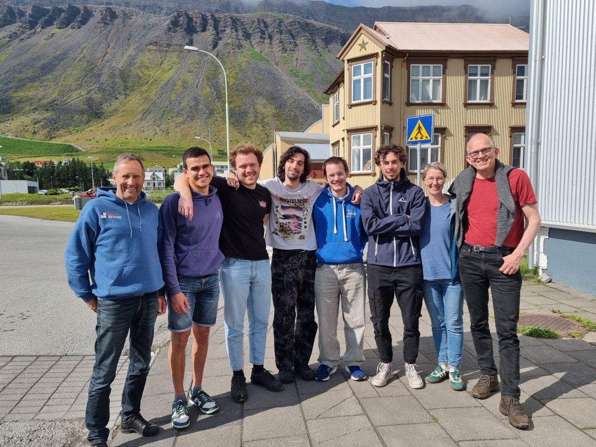
Interns from the University of Toulon in France have completed their internship at the University Centre, which has been ongoing since mid-April. The students worked on developing methods for utilizing data from the Copernicus institution. The data included open model and measurement data on sea ice movement, weather and ocean data, as well as biogeochemical data on primary production in the ocean.
The projects were twofold and focused on, on one hand, the state of the ocean, and on the other, the effects of wind and currents on sea ice drift in the Arctic Ocean. The students worked in two separate groups.
The first group focused on establishing a presentation method that allows users to clearly understand the interaction and variability in the distribution of different water masses (such as Greenland Sea water, Atlantic water, and Polar water), and how this relates to primary production in the ocean at any given time. Primary production (e.g., copepods like Calanus finmarchicus and Calanus hyperboreus) affects capelin and herring migrations and recruitment of demersal fish stocks in the spring. Additionally, they worked on presenting wave forecast data so that users could distinguish between the influences of wind, wave, and swell at any given time—helpful for choosing optimal routes and timing for sailing when storms are passing through.
The second group worked on developing an algorithm to interpret satellite measurements of deformations (similar to those in the Earth’s crust or crevasse patterns in glaciers), where their direction and curvature provide insights into pressure and fracturing forces within the sea ice as it is driven by wind and ocean currents and collides with the shores of the Arctic Ocean. These new methods for interpreting satellite data are innovative in sea ice research and have transformative implications for computational models that address the interactions between the ocean and atmosphere over the sea ice in the Arctic. With this data, radar-equipped satellites can directly measure the factors that determine which types of sea ice (and the thickness of multi-year and/or seasonal ice) drift out of the polar regions and melt—along with their cooling effects further south in the ocean’s surface layers.